Open access geospatial datasets are what underpin iSDA’s approach to Spatial Agronomy. Satellites are constantly monitoring the Earth’s surface, allowing us to understand what is currently happening in any field. Many satellite missions have been orbiting the Earth for a long time - since the 1970’s, in the case of the Landsat missions. This means we can see how a field has been managed in the past few decades. We are also able to peer into the future using weather forecasts. Bringing all of this information together can help agronomists monitor their fields.
Combining geospatial data to help decision making
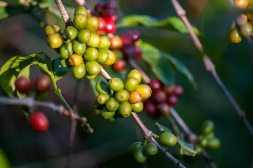
iSDA’s approach to spatial agronomy starts with an understanding of the soil. Broadly speaking, the nutrient composition and soil type are a functions of climate, land use and the underlying rock type. Many datasets exist that can tell us about these soil forming factors. This has allowed us to create iSDAsoil, our open access 30 metre soil property map of Africa. As more soil samples are analysed by iSDA and others, these are fed back into iSDAsoil to gain an increasingly detailed understanding of the soil.
But iSDAsoil alone is not sufficient for making decisions at the farm level. For example, in order to help a farmer decide upon what fertiliser to apply to their crop, there are many considerations. These range from environmental (is the soil rich in nutrients? Is the season expected to be drier or wetter than normal?), crop related (how will the crop respond to a specific fertiliser?), human (What is the farmer’s attitude to risk? Does the farmer follow good agricultural practices?) and even logistical (what fertilisers are locally available?). This is where Virtual Agronomist’s AI can assist the farmer in making an informed decision, understanding the risks involved.
Bringing iSDA’s vision to life
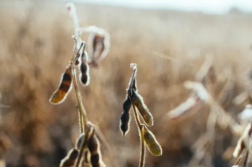
Assisting the farmer with a decision at the start of the season is of limited use if we are unable to monitor fields in realtime and support ongoing decision-making. Using satellite data, we can monitor many thousands of fields simultaneously, putting this information at the fingertips of the agronomist. Measurements such as NDVI tell us about how fields are developing during the season, including indications of harvest time and yield. Underperforming fields can be flagged for an in-person diagnosis by an agronomist.
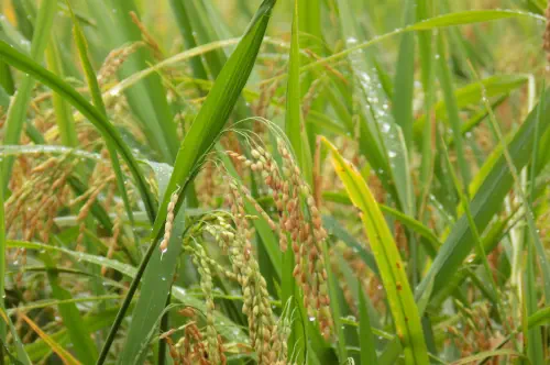
Rainfall forecasts provided in realtime can assist farmers with important decisions over the cropping calendar. These include timing of planting to coincide with the onset of the rains, when to apply a topdress fertiliser and when to harvest. They can also warn of potentially hazardous weather events such as heavy rainfall that might disrupt transportation networks.
From soil data to agronomic advisory
iSDA’s vision for spatial agronomy combines the use of cutting edge remote sensing data, combined with AI and decision science. Rather than replacing the agronomist, we aim to expand their capacity with digital tools. With the increasing abundance of soil sampling datasets and agronomic field trials, we can combine decades of scientific research with local knowledge to deliver field-level advisory.
Our research and technology
iSDA continues to build expertise in critical areas of agronomic research and technology development.